Historical background
The springs have long been part of the St Naum pilgrimage landscape and the natural-cultural heritage of the Ohrid region. They are associated with the karst groundwater system of Mount Galičica.
Lake Ohrid · Nearby guide
Clear karst waters and shaded wetlands beside the monastery
📍 East of St Naum Monastery · Lake Ohrid, North Macedonia
Access and boat operations depend on season and conservation rules; check park and local notices.
Open this place on Google Maps ↗Explore the place
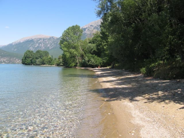
At the foot of Galičica, springs gather into calm, remarkably transparent pools before meeting Lake Ohrid. Underwater vegetation and shaded banks reward a slower visit separate from the nearby monastery.
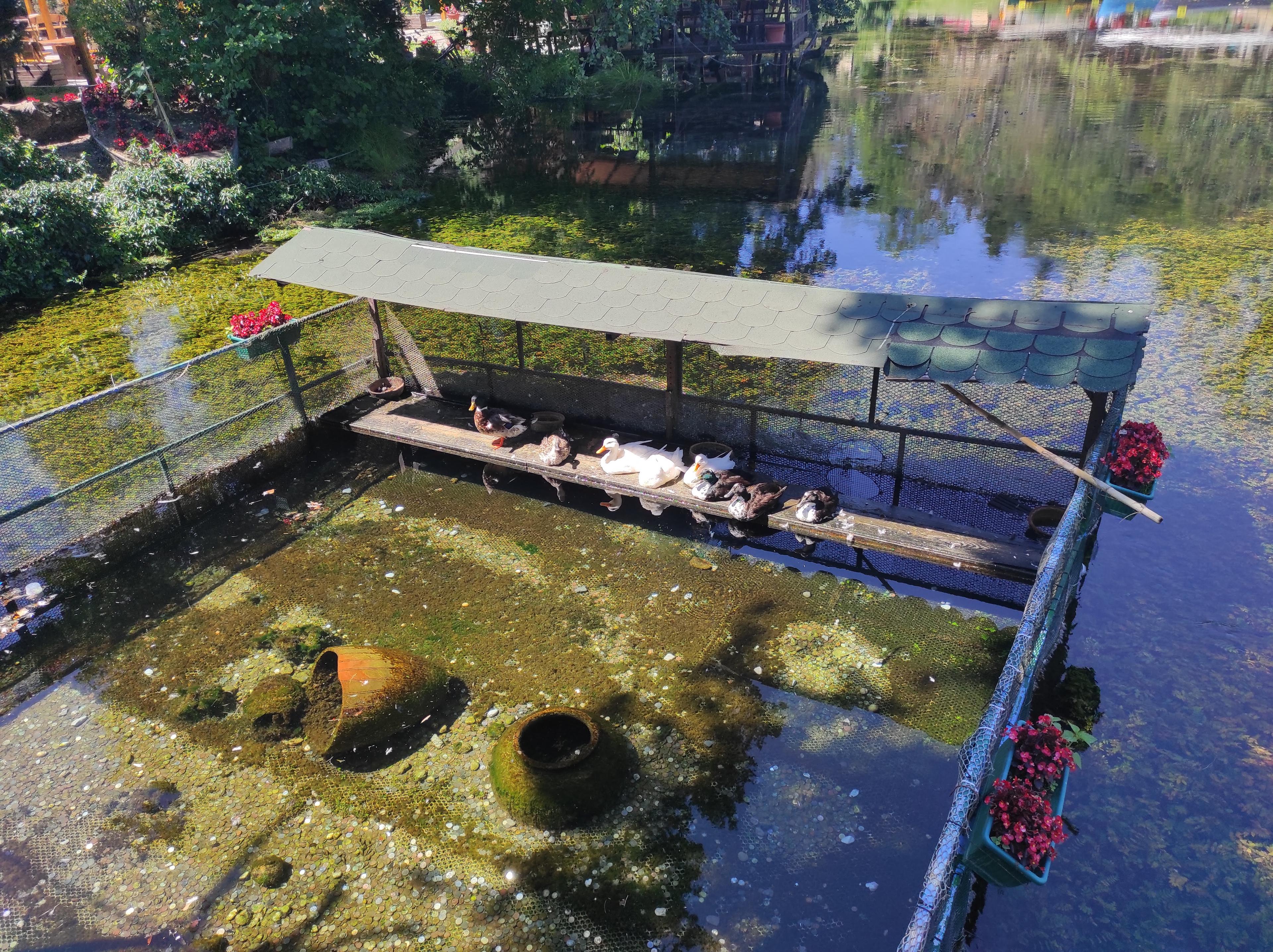
This is more than a sheltered corner of the lake. Groundwater emerges through limestone and shoreline outlets, collecting in clear shallows before reaching Lake Ohrid. Observe plants and stones from the bank or use an authorised local boat. A slow look at the water system is more rewarding than a quick photo stop.
The springs lie within Galičica National Park, whose public institution oversees protected-area conservation and ecological management. The neighbouring religious complex also involves the Macedonian Orthodox Church and other stakeholders: management of the natural springs should not be confused with that of the monastery.
Check source ↗Look for coloured algae and submerged rocks around spring outlets
Watch where the slow spring channels meet Lake Ohrid
Take an operated rowboat where permitted to view the clear water
Within the St Naum tourist area at the south end of Lake Ohrid. The springs and the church are neighbouring but distinct visit sites. The map uses a place-specific search, not a verified Place ID.
The springs have long been part of the St Naum pilgrimage landscape and the natural-cultural heritage of the Ohrid region. They are associated with the karst groundwater system of Mount Galičica.
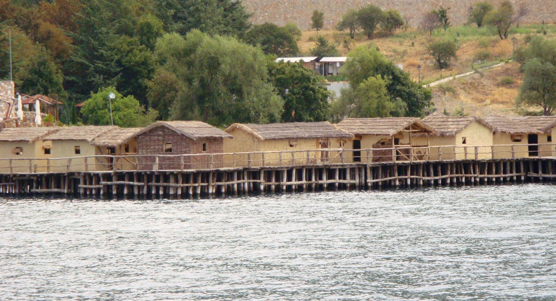
Water, footpaths and small traditional boats define this place rather than monumental buildings; the stone monastery church provides a nearby contrast.
Observe submerged plants and shifting colours beneath the cool spring water. Avoid disturbing aquatic vegetation or feeding wildlife.
The springs and neighbouring monastery form a distinctive meeting of pilgrimage and nature. Within a short walk visitors move from frescoes and the saint’s memorial to a spring-fed wetland, a vivid example of the Ohrid region’s linked cultural and natural heritage.
Aquatic plants shift from yellow-green to deep green, while algae change the appearance of submerged rocks. Shade from the trees reduces glare and reveals more detail below the surface.
Suggested order: St Naum entrance → church exterior and courtyard → spring path → optional rowboat → lake viewpoint → return to pier or parking.
Walk from the monastery toward the spring bank and observe the channels
Consider an operated rowboat subject to on-site rules
Return to the lakeshore for views of the spring water meeting the lake
Ohrid town makes a practical overnight base for a half- or full-day journey along the southern lakeshore. Check seasonal boats, parking and return transport in advance.
Use this place’s own Google Maps listing for recent visitor reviews. No unverified rating is displayed here.
Open this place on Google Maps ↗Around 45–90 minutes, longer for boating or photography.
Respect protected-area signs; choose a designated lake beach for swimming.
Yes for shoreline observation, with close supervision near water and on boats.
A short walk from St Naum Monastery; reach the monastery area by lakeside road or seasonal boat from Ohrid.
East of St Naum Monastery · Lake Ohrid, North Macedonia
Open this place on Google Maps ↗